
Aston Expressway and Spaghetti Junction
Birmingham City Council describes the A38(M) as the link between the M6 and the city centre, with its northern section near M6 junction 6. State whether your vehicle is on the expressway, an interchange link or a nearby local road. A landmark beneath the elevated road does not identify the correct carriageway.
Lane control makes precise location important
The Aston Expressway operates with a tidal-flow system, so current lane signals and official instructions matter. Do not assume that road space beside the vehicle is a normal hard shoulder. If you cannot get out of immediate traffic danger safely, seek emergency assistance before using an online recovery enquiry.
Give the recovery team a complete brief
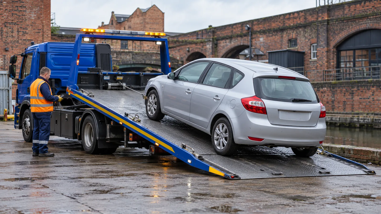
Record make and model, whether the vehicle drives for loading, any wheel damage and the intended destination. Include passenger numbers and accessibility needs for assessment. If the vehicle is already off the expressway in a car park or yard, use that actual location; it may allow a different collection plan from a motorway pickup.
Your questions, answered.
Should I choose A38 or A38(M)?
Use A38(M) for the Aston Expressway motorway. Use A38 for surface-road locations such as Bristol Road, and give the local road name as well.
Can a postcode locate an Aston Expressway breakdown?
It may point to a nearby street below or beside the road. Direction, signed location and an accurate pin help identify the actual motorway position.